Portfolio · 2001
Atlas of My World
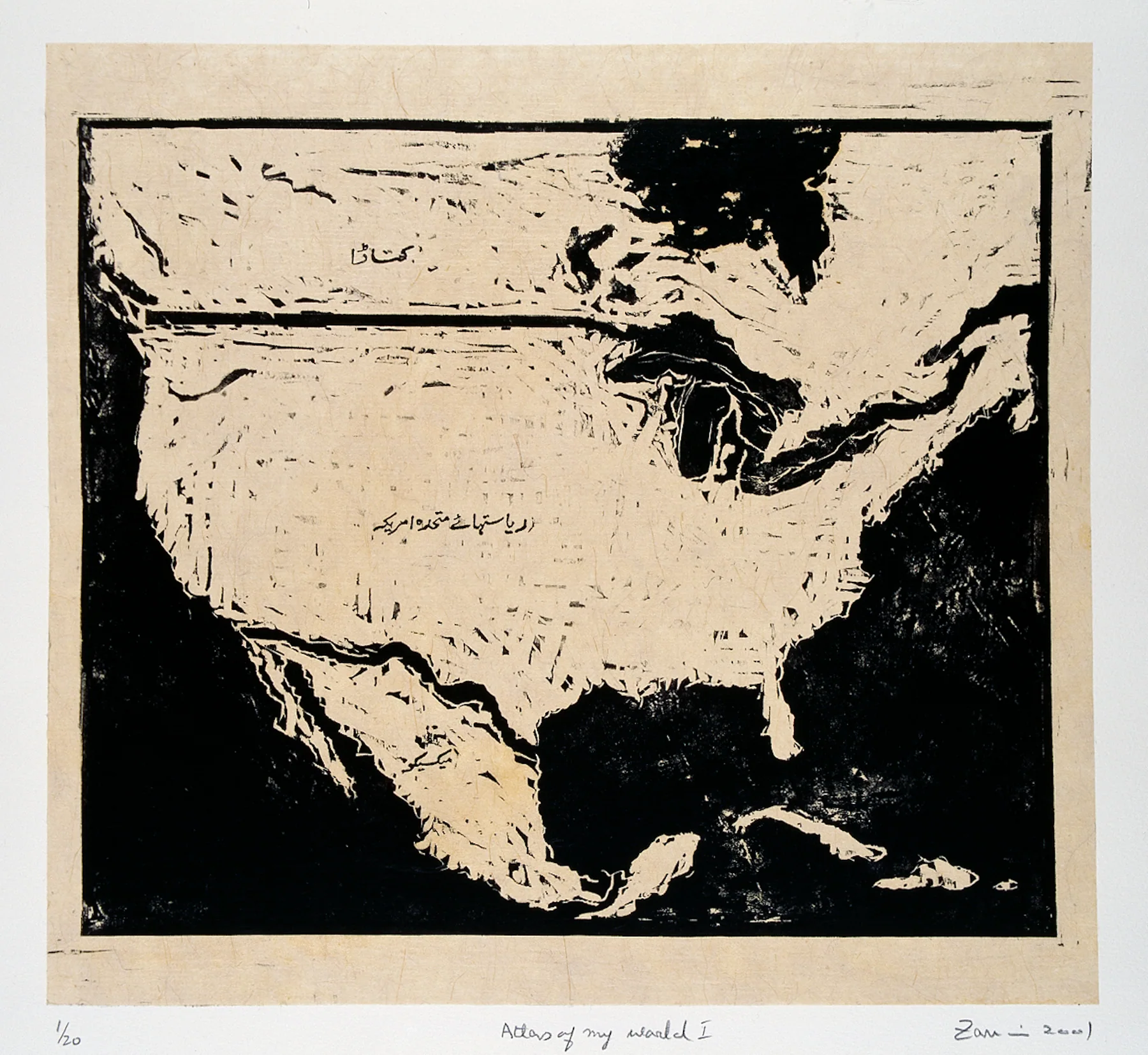
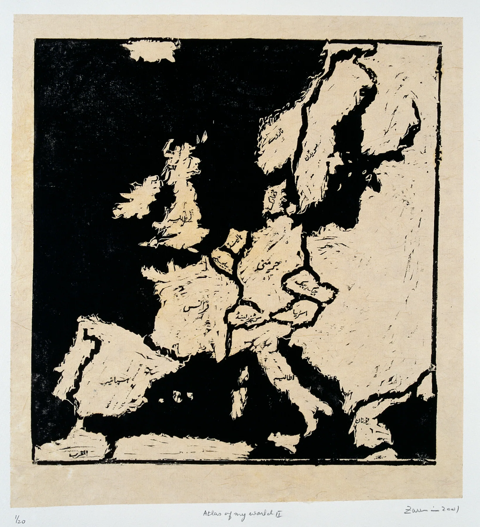
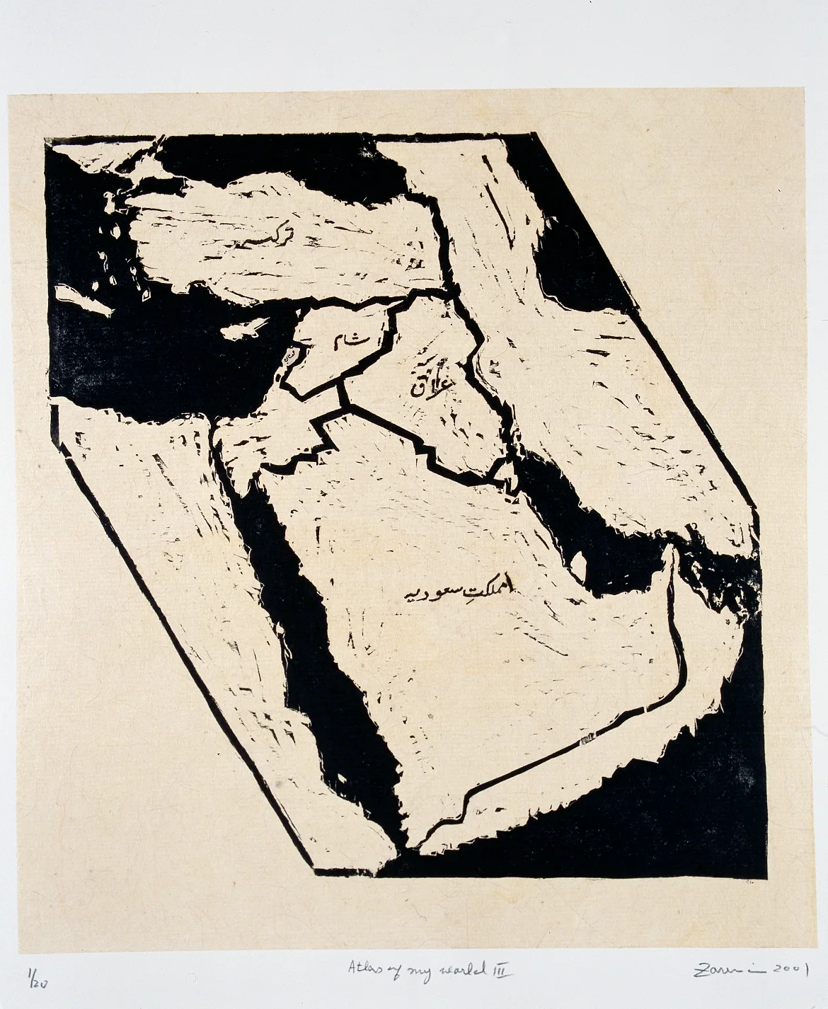
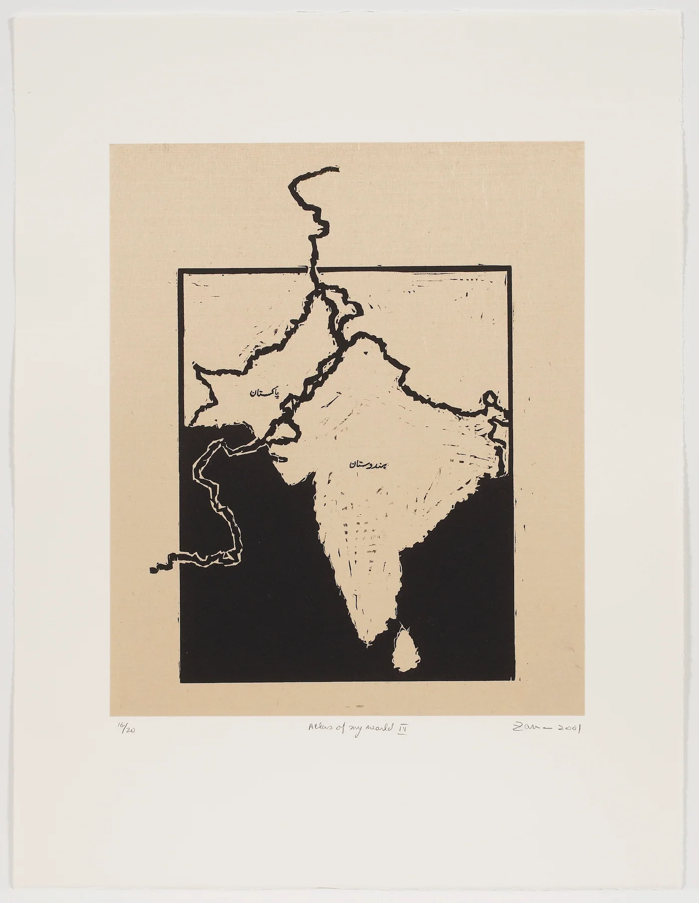
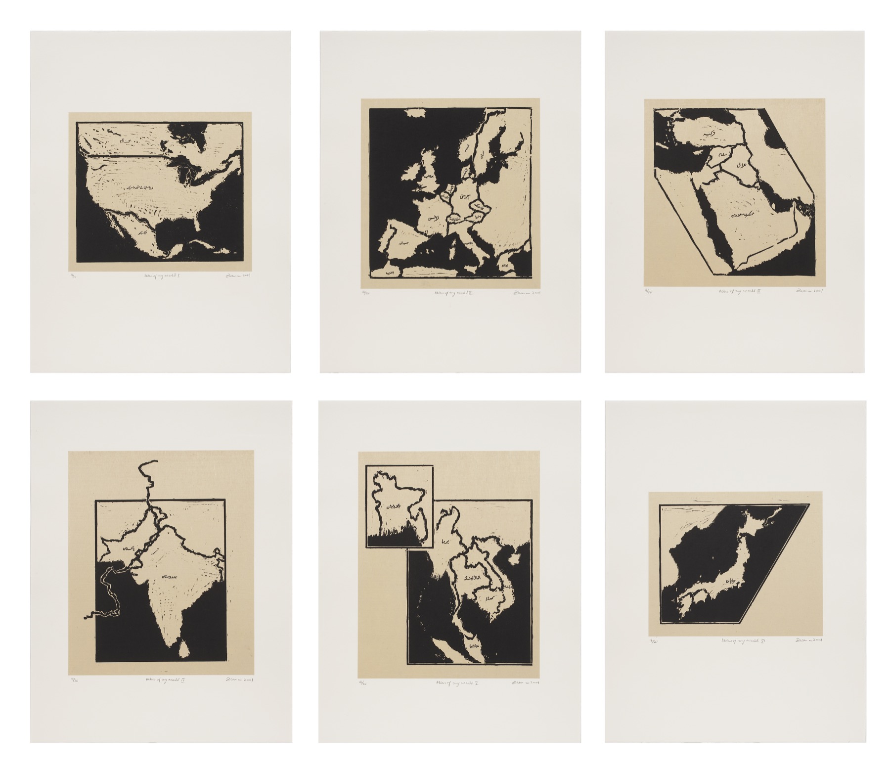
Maps become personal territories: places lived, crossed, remembered, and altered by distance rather than neutral diagrams of the world.
Date2001
MediumSix woodcuts with Urdu text on handmade papers
Sheet25½ × 19½ in. in The Met’s portfolio record
Edition20
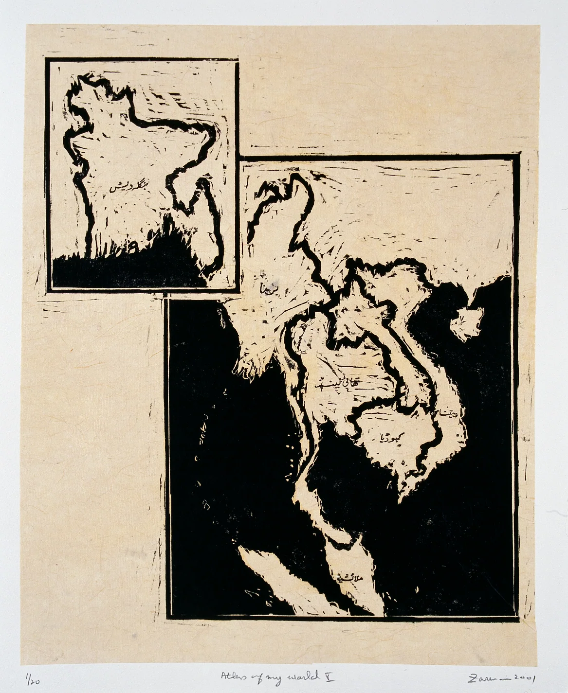
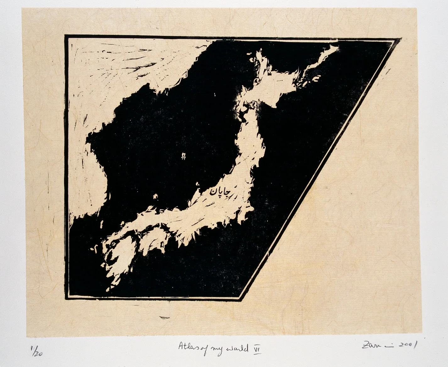
Zarina’s atlases do not claim the authority of conventional cartography. Their land masses are cut, darkened, divided, and named through lived experience, allowing political geography to remain inseparable from memory and movement.
The Indian subcontinent appears as a ruptured geography, its borders and inscriptions making political division inseparable from Zarina’s experience of migration and memory. Family records describe more than one handmade-paper support; the photographs here are not all from one numbered set.
Archive sequence
Individual sheets
The order follows the Roman numerals visible on the photographed sheets. These six designs are illustrated using mixed numbered impressions, not an intact single copy of the portfolio.